top of page
Evaluating Every Corner for Your Peace of Mind

DRONE INSPECTION
Aerial Precision: Advanced Drone Inspections for Comprehensive Property Assessments
1 day1 daJefferson County
Contact Us
Contact Us
Service Description
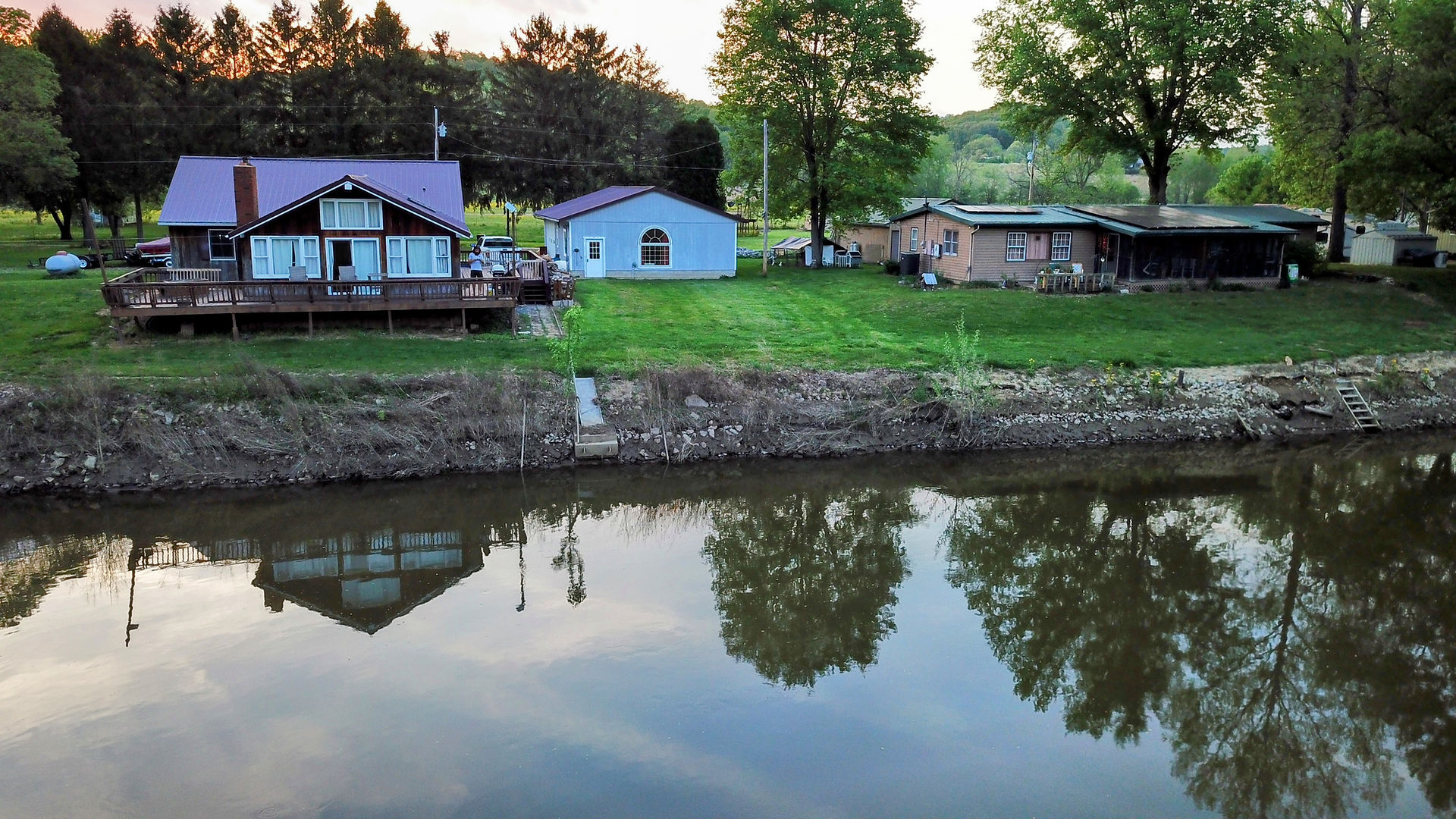
I use a state-of-the-art, camera-mounted unmanned aerial vehicle (UAV) or drone to capture images of unsafe or hard-to-access areas, such as tall roofs. I can get an up-close look at any issues and defects that would otherwise not be properly inspected and reported. I can also take aerial photos of the property for real estate listings and informational purposes.
Contact Details
South Eastern Ohio
bottom of page